Walking the Quiraing that day was a hiker's dream, but a photographer's nightmare.
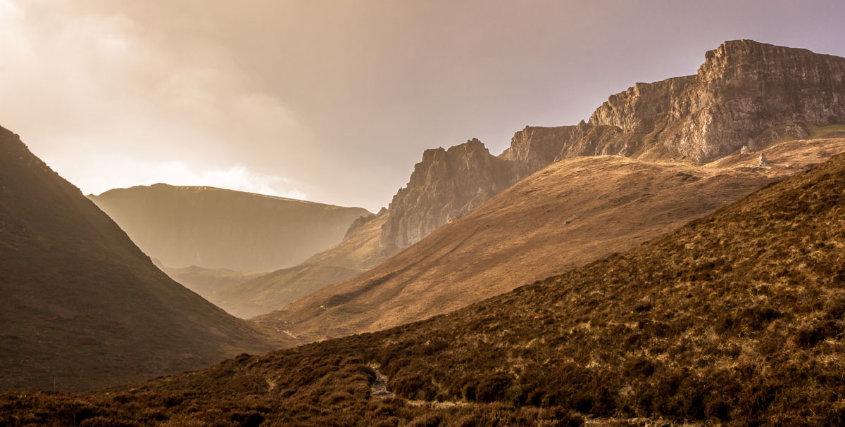
The Quiraing is a landslip, part of the larger Trotternish Ridge, that runs north-south, with the cliff-side facing east. There are two paths along the landslip: one running below the cliff, and one running on top of the cliff. The traditional route starts at the south-end and is usually done counter-clockwise, taking the hiker first below then wrapping back and going on top of the cliff to complete the loop.
We, however, cut to the north-end of the loop, and so, were presented with a choice to embark on one or the other back to the traditional starting point. It was past noon when we started on the trail, and the sun was on the west. As a result, the entire cliff-face was shrouded in shadow, making any kind of photography very difficult. We took the trail going on top of the cliff in part because we hoped the lighting would be better, but also because we couldn't see over the cliff when we were making our choice, so we didn't want to miss out on potentially a spectacular view; the former only turned out only to be marginally accurate, but the latter was right on point. On top of Meall na Suiramach, we could see the entire eastern coast of the island of Skye, and being so high up gave a great view of the rest of the Trotternish Ridge. The only downside: it was probably the coldest, wettest, and windiest hikes I've ever done, and I've done a lot of cold, wet, windy hikes...
Next time, we'll go in the morning.